
MTB region
Mountain biking in Upper Austria
Overview
Upper Austria for riders
Upper Austria is no gravity heavyweight like Tyrol or Salzburg – and it doesn't try to be. What makes this region on the northern edge of the Alps work is the mix: a handful of solid, honest bike parks at the foot of the limestone ranges, with the lakes of the Salzkammergut as a backdrop. Come here and you trade the biggest vertical for short distances, manageable crowds and trails that run from flow to brutal root carpet.
The hub is the Pyhrn-Priel region: the Bikepark Wurbauerkogel in Windischgarsten runs five lift-served trails from the beginner flowline "Lollipop" to the viciously steep "Black Widow". The second flagship sits above Lake Traunsee: the downhill run at the Feuerkogel in Ebensee – one of the technically hardest descents in Austria.
Around them a dense lowland scene has grown: the big Pumptrack Linz and facilities in many towns, plus dirt spots like the Dirtpark Marchtrenk. The scenery ranges from the Danube valley and the gentle hills of the Mühlviertel to the steep limestone massifs of the Totes Gebirge and the Salzkammergut lakes. Who is it for? Anyone wanting two or three fine parks without the alpine circus – from a family-friendly start to a downhiller after a genuine challenge.
The best
Highlights
Bikepark Wurbauerkogel
Five lift-served trails above Windischgarsten – from the weatherproof "Lollipop" flowline to the viciously steep "Black Widow", plus a pump track at the base.
Bikepark Feuerkogel
The "Dunkelschwarz" downhill run above Lake Traunsee is rated one of Austria's technically hardest descents – steep, rooty, for pros only.
hello yellow Pumptrack by Schachermayer
The city's central pump track – asphalt for rolling, pumping and practising, open all year round.
Dirtpark Marchtrenk
Dirt lines and jumps in the lowlands between Linz and Wels – the spot to learn to jump when the mountains are too far.
Overview
All spots
Reviews and community input come from platform users. We do not verify whether anyone actually visited the spot. Learn more
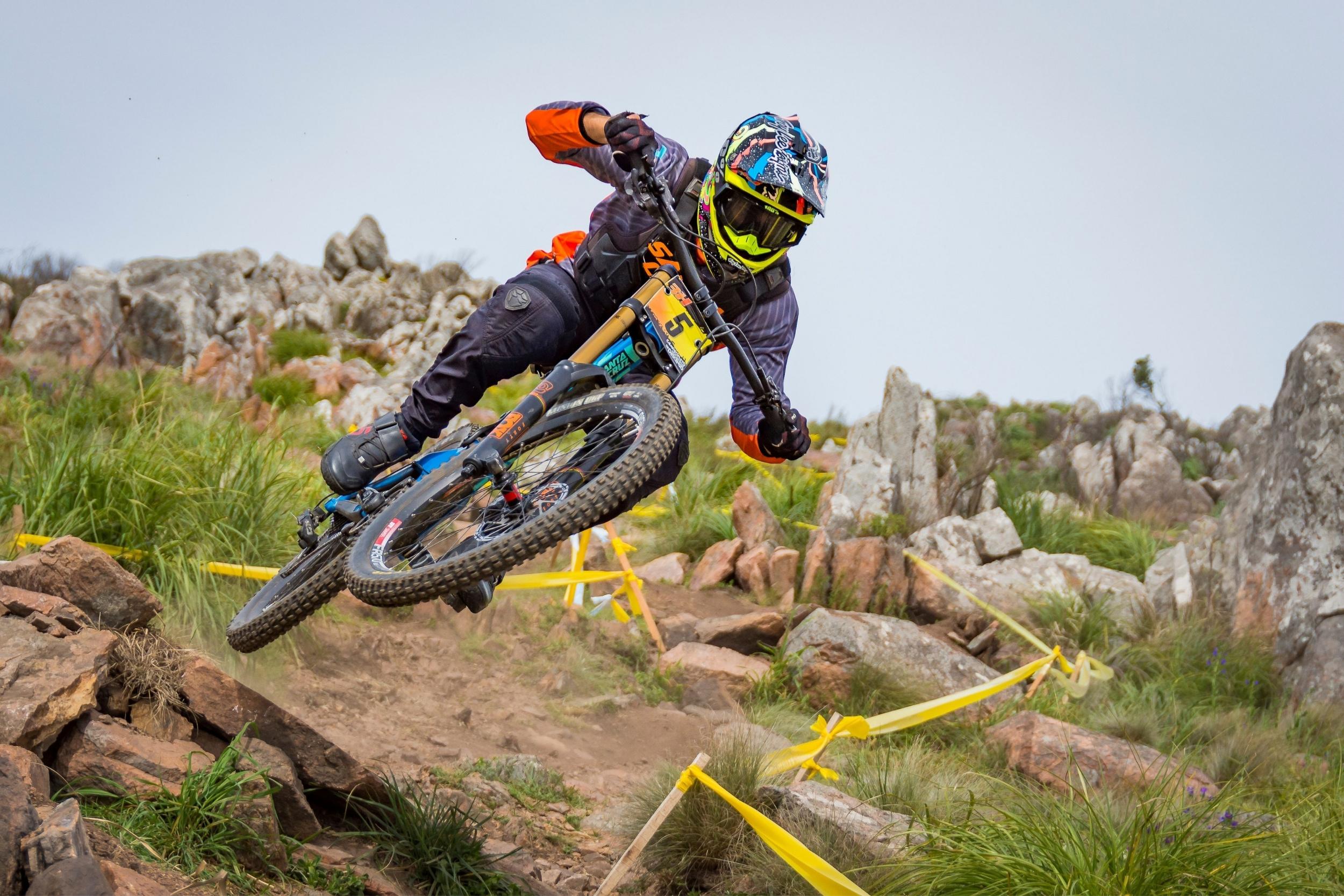
Bikepark Feuerkogel
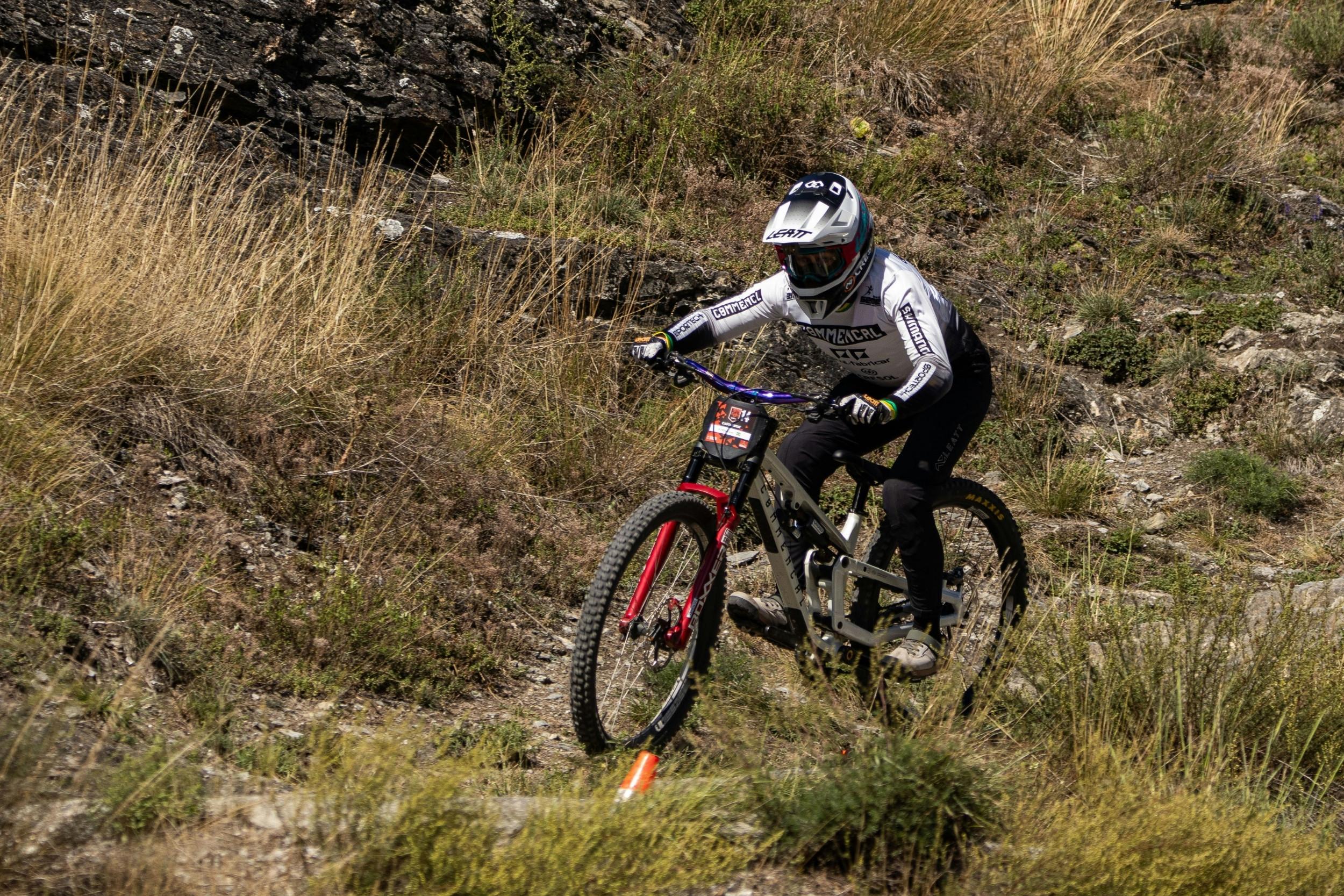
Bikepark Wurbauerkogel
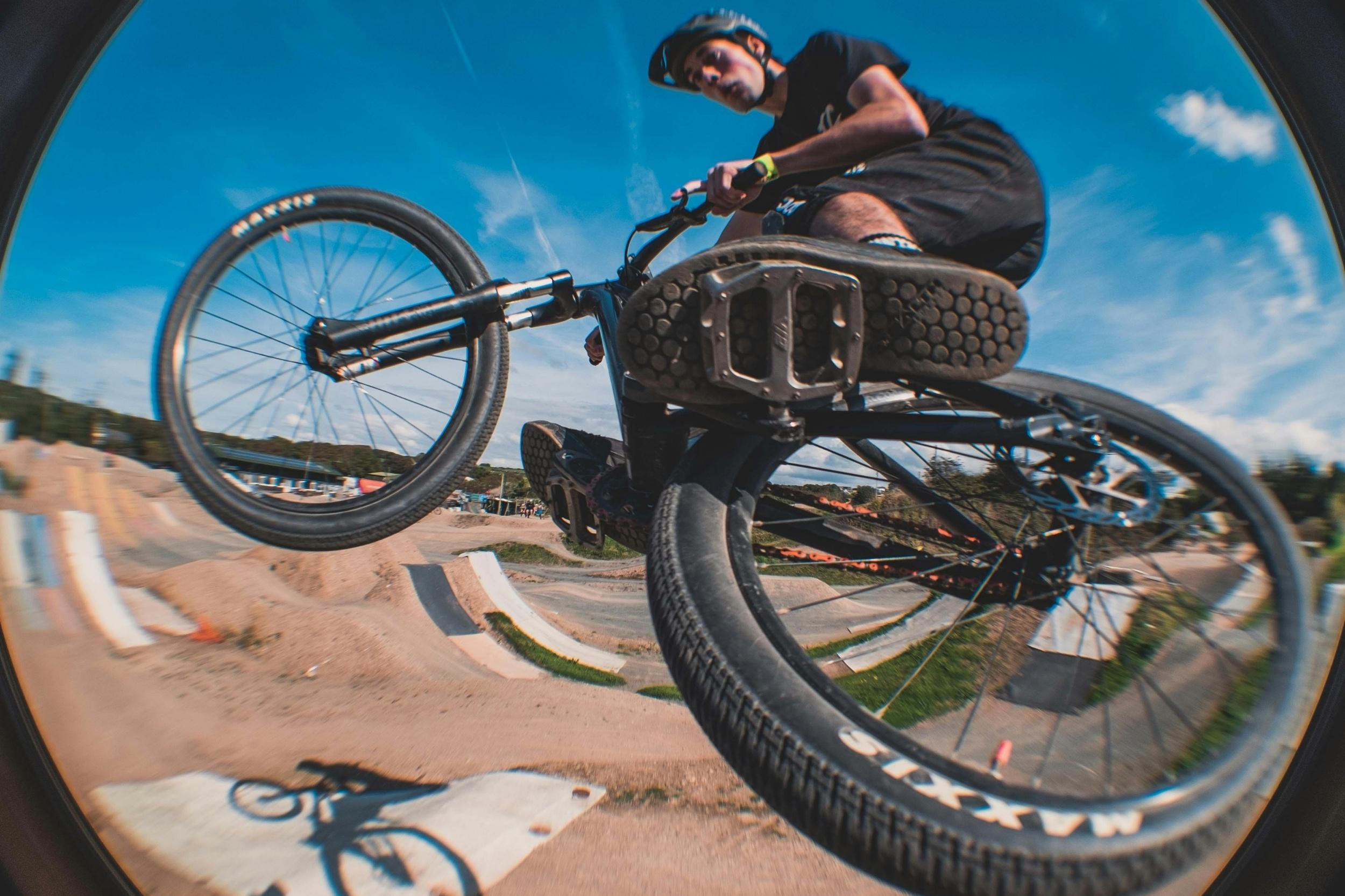
Dirtpark Marchtrenk
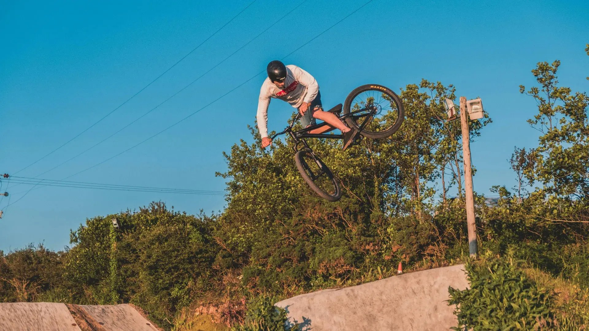
hello yellow Pumptrack by Schachermayer
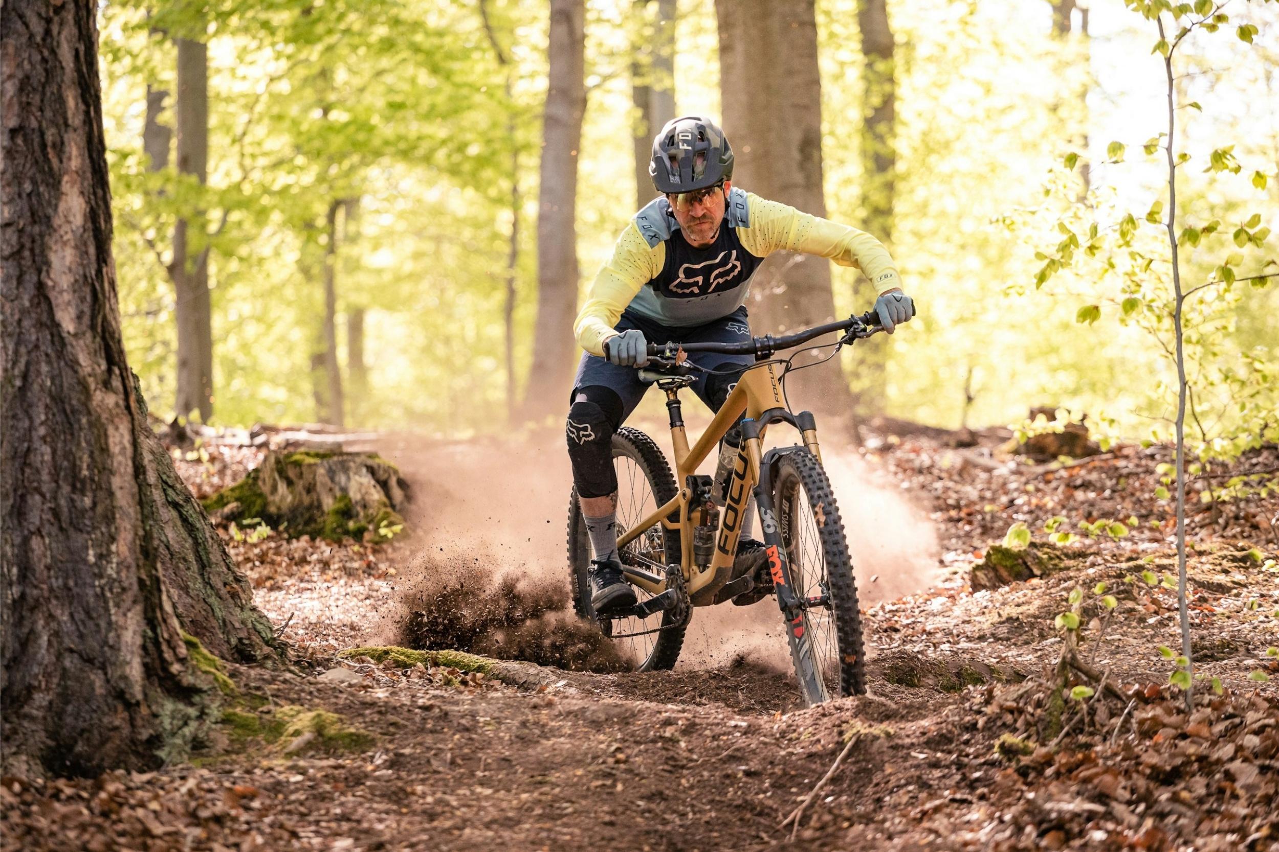
Naturfreunde Trail Hochburg Ach
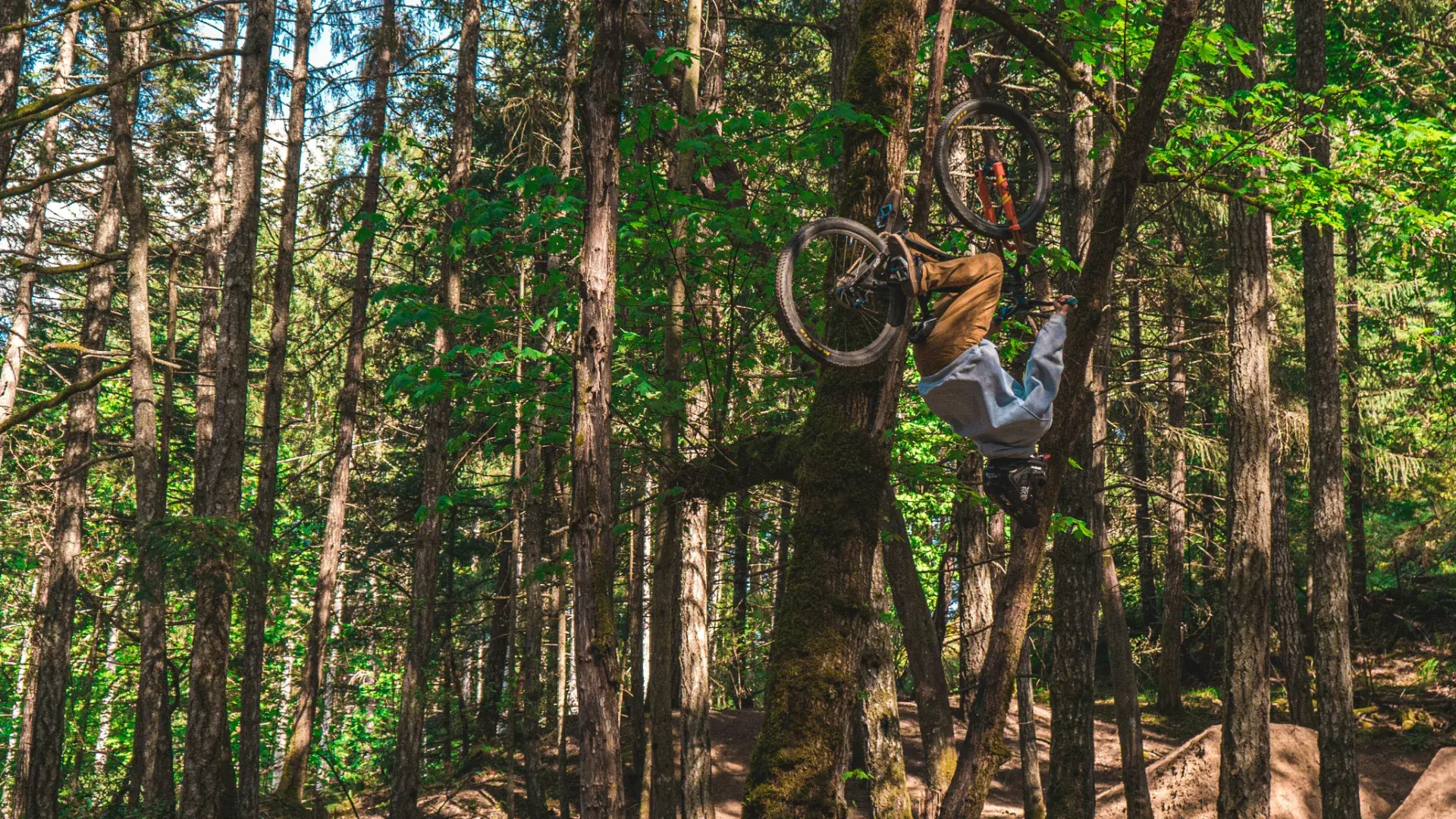
Pumptrack Grieskirchen
Pumptrack Königswiesen Freedolin
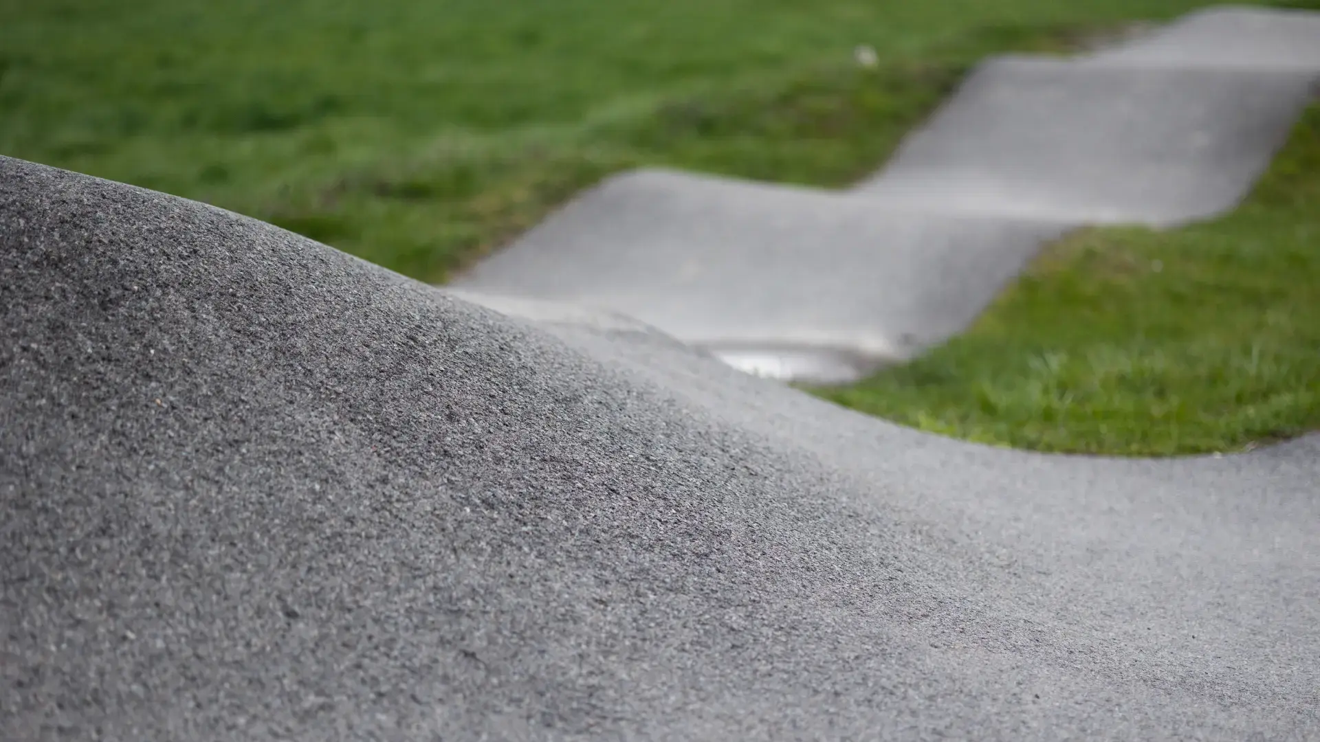
Pumptrack Pierbach
Trip planning
Plan your trip
Getting there: Linz is the gateway – airport, ICE/Railjet stop and the A1 (West motorway). The Bikepark Wurbauerkogel is about an hour from Linz via the A9/Pyhrn motorway; the Feuerkogel sits near Ebensee in the Salzkammergut, well connected by the A1 and the Salzkammergut road. Train plus bike works to Windischgarsten and Ebensee.
Best time: The lift season runs roughly from late May/June to early/mid October, at the Pyhrn-Priel lifts on weekends first and daily in high summer. High summer is the safest bet; operating days vary year to year – check the lift operators' official sites before you go.
Bed & shop: Windischgarsten and Spital am Pyhrn are the handiest base for the Pyhrn-Priel Trailogie, with rental and a bike centre at the Wurbauerkogel valley station. For the Feuerkogel, Ebensee/Traunsee makes sense. In and around Linz you'll find the densest shop and workshop infrastructure in the state.
Good to know
FAQ
Where can beginners mountain bike in Upper Austria?
What are the best bike parks in Upper Austria?
When is the bike park season open in Upper Austria?
Where is there a really hard downhill run in Upper Austria?
Is Upper Austria worth an MTB trip despite the smaller mountains?
Magazine
The Best Beginner Bike Parks in Austria, Germany & Switzerland
Nine parks across Austria, Germany and Switzerland that take beginners seriously — from family bike parks with practice areas to free pump tracks. Including what day one honestly costs.
Bike Parks for Rainy Days — Where to Ride When It's Pouring
Rain all weekend? Doesn't matter. Nine bike parks and trail centres that work in the wet — with a soil check and honest planning tips.
The Best Flow Trails in the Alps
From the 11.5 km Flow Country Trail on the Petzen to the after-work laps at Samerberg: nine alpine parks where flow is more than a marketing word — with travel, season and honest takes.
World Cup Tracks You Can Actually Ride
Follow Pierron and Bruni: ten European World Cup venues where a lift pass gets you onto the real race tracks – honestly rated, from brutal to doable.