
MTB region
Odenwald
Overview
Odenwald for riders
Mountain biking in the Odenwald: flow trails, a volcanic summit and quiet forests
The Odenwald is a low mountain range between the Rhine, Main and Neckar rivers – and one of southern Germany's most underrated riding areas. Instead of crowded alpine uplifts you get wooded ridges, deeply carved valleys and singletrack that stays calm even on summer weekends. The Baden-Württemberg section around Mosbach, Eberbach and Waldbrunn sits inside the Neckartal-Odenwald Nature Park and forms part of the UNESCO Bergstraße-Odenwald Geopark.
Its highest point is the Katzenbuckel at 626 metres – an extinct volcano whose former quarry now cradles the tranquil Katzenbuckelsee. On a clear day the observation tower reaches as far as the Black Forest and the Taunus. That constant rhythm of short, punchy climbs and flowing descents is what makes the region special: rewarding, varied and never high-alpine.
Legal trails and bike parks
The centrepiece is the Flowtrail Mosbach: three descent lines graded green, blue and red plus a dedicated climb, built with berms and jumps for that signature roller-coaster feel. Beginners roll the green flow line; more experienced riders find small jump lines on blue and red. A few kilometres away, the Katzenbuckel Dirtpark in Waldbrunn adds jumps and drops for a more playful session. Combine that with countless forest roads and hiker-friendly loops through the Neckar valley and you can easily mix trail laps with cruising miles.
When to come
The Odenwald's western slopes are among the mildest corners of Germany – along the Bergstraße, almonds and cherries bloom up to two weeks earlier than elsewhere. That noticeably extends the riding season, from the first dry days of March into a golden autumn. After prolonged rain, though, the loamy forest soil needs a day to dry out – a quick look at current conditions before you set off saves disappointment.
The best
Highlights
Overview
All spots
Reviews and community input come from platform users. We do not verify whether anyone actually visited the spot. Learn more
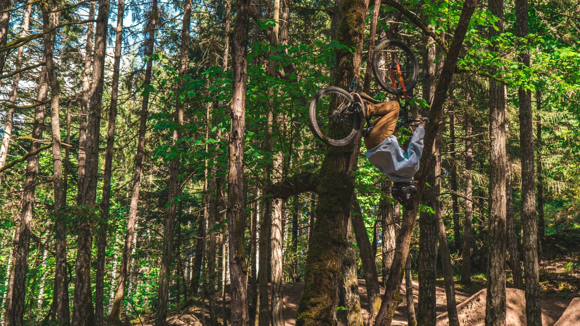
Pumptrack am Jugendhaus Heddesheim
Pumptrack Gaiberg
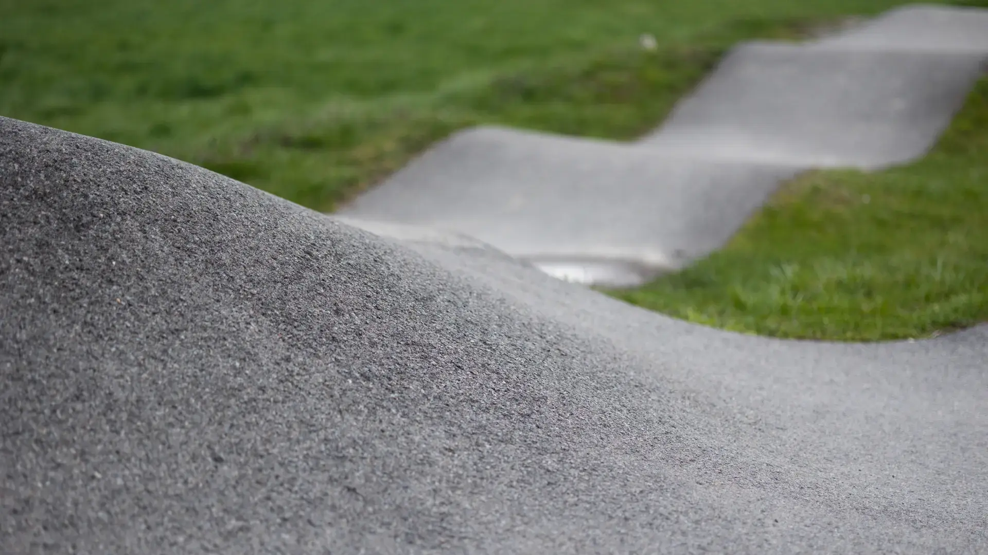
Pumptrack Hirschberg-Leutershausen
Pumptrack Mannheim-Feudenheim
Pumptrack Weinheim
Trip planning
Plan your trip
Getting there
By car via the A5 (Heidelberg interchange) and the B37 towards Eberbach, then on to Mosbach and Waldbrunn. By train, Eberbach and Mosbach are easy to reach on the S-Bahn RheinNeckar from Mannheim and Heidelberg; regional buses continue towards the Katzenbuckel.
Best time to ride
April to October. Spring and autumn are especially pleasant thanks to the mild Bergstraße climate, while the forests offer shade in high summer. Avoid the first hours after heavy rain until the ground has dried.
Where to stay & eat
Mosbach, Eberbach and the Neckar valley towns offer bike-friendly inns, guesthouses and holiday flats. Many restaurants around the Katzenbuckel and in the Mümling valley cater to day-trippers – perfect for a post-ride stop.
Good to know